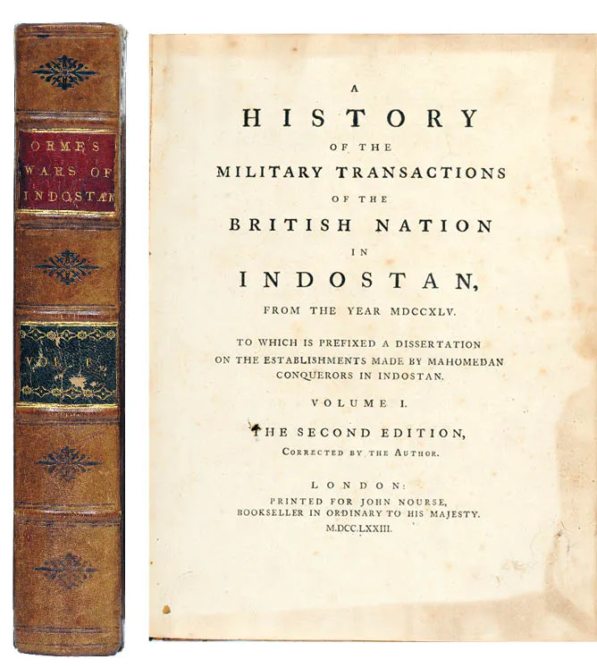
ROBERT ORME (1728 - 1801)
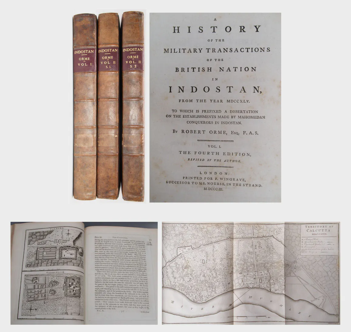
A collection of 13 maps and plans from Robert Orme's "A History of the Military Transactions of the British Nation in Indostan", c. 1780 1. MADRASS, part of the Black Town and the adjacent ground to the S. and W. during the French attack from Dec. 12, 1758 to Feb. 17, 1759/ 16 x 20 inches 2. Plan of the fronts of FORT ST GEORGE attacked by Mr Lally from the 14th of December 1758 to the 16th of February 1759, with part of the Black Town/ 16 x 19 inches 3. PERMACOIL Fort/ 12.5 x 17 inches 4. PALAM-COTAH near TINIVELLY/ 13.5 x 17 inches 5. CHITTAPET the Fort/ 13 x 16 inches 6. CARANGOLY the Fort/ 13 x 16 inches 7. The Carnatic from the Pennar to the Coleroon, with western mountains and part of MYSORE / 20 x 17.5 inches 8. View of the Forts on the HILLS OF VELOOR as seen from the Pettah/ 17 x 10.5 inches 9. KARICAL / 10.5 X 8.5 inches 10. MASULIPATAM / 10.5 X 8.5 inches 11. PONDICHERRY / 16.5 x 10.5 inches 12. ARCOT FORT & CHILLAMBARUM / 10.5 X 8.5 inches 13. VALDORE & VANDIWASH / 10.5 X 8.5 inches
i) 140.6 x 73.6 cm
ii) 40.6x 48.2 cm
iii)31.7x 43.1 cm
iv)34.2 x 43.1 cm
v)33x 40.6 cm
vi)33 x 40.6 cm
vii)73.6x 44.4 cm
viii) 43.1x 26.6 cm
ix) 67.5 X 26.6 cm
x)26.6 X 21.5
xi)41.9 x 26.6 cm
xii)26.6 X21.5 cm
xiii) 26.6 X 21.5 cm