J. THOMSON
Filters
Auction Type
Sale Category
Estimate
₹25K₹40K
Showing 3 of 3 lots
View
Filters
 ClosedLot 66
J.THOMSON (1782 - 1878)
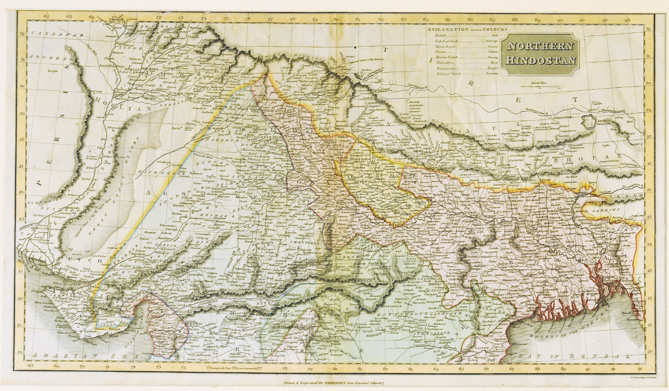
NORTHERN HINDOSTAN; This fascinating hand colored 1814 map by Edinburgh cartographer John Thomson depicts northern India and Nepal. Bounded on the east by Persia and the Indus valley, on the North by Tibet, on the south by Berar, and on the east by Assam and Bhutan. Much of the upper portion of this map includes a detailed inset of the Kingdom of Nepal or Nepaul. This area is depicted in impressive detail considering that, when this map was printed very few western travelers had ever been to Nepal. Includes roads, mountain passes and the residences of important Lamas. Extends fully into the Tibetan plateau as far as Te Shoo Loomboo and the Road to Lhasa (Lassa). The right hand corner of this map contains an inset of Kabul or Cabul. Date 1814.
61 x 34 cms.Estimate:
₹30,000 – ₹40,000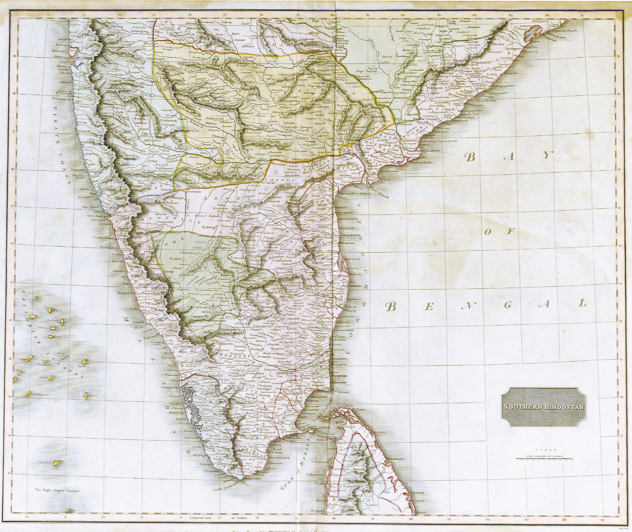 ClosedLot 67
J.THOMSON (1782 - 1878)
British India, Southern Part, This fascinating hand colored 1814 map by Edinburgh cartographer John Thomson depicts southern India. Covers from Bombay in the North to the northern part of Ceylon or Sir Lanka. Map is color coded according to the figures that dominated each region. British controlled areas are red, the territory of Nabob of Oude is orange, the Berar Rajah is green, the regions controlled by the King of Candy are brown, etc. Overall a spectacularly highly detailed map of this fascinating region. One of the finest maps of India to appear in the 19th century. 1814.
60 x 50 cms.Estimate:
₹30,000 – ₹40,000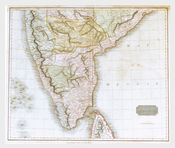 ClosedLot 83
J. THOMSON (1782 - 1878)
British India, Southern Part; this fascinating hand colored 1814 map by Edinburgh cartographer John Thomson depicts southern India covering Bombay in the north to the northern part of Ceylon or Sri Lanka. Map is color coded according to the figures that dominated each region. British controlled areas are red, the territory of Nabob of Oude is orange, the Berar Rajah is green, the regions controlled by the King of Candy are brown, etc. A very spectacular and highly detailed map of this fascinating region and one of the finest maps of India to appear in the 19th century.
British India, Southern Part;
60 x 50 cmEstimate:
₹25,000 – ₹30,000