A. J. JOHNSON
Filters
Auction Type
Sale Category
Estimate
₹18K₹30K
Showing 4 of 4 lots
View
Filters
 ClosedLot 57
A.J.JOHNSON (1827 - 1884)
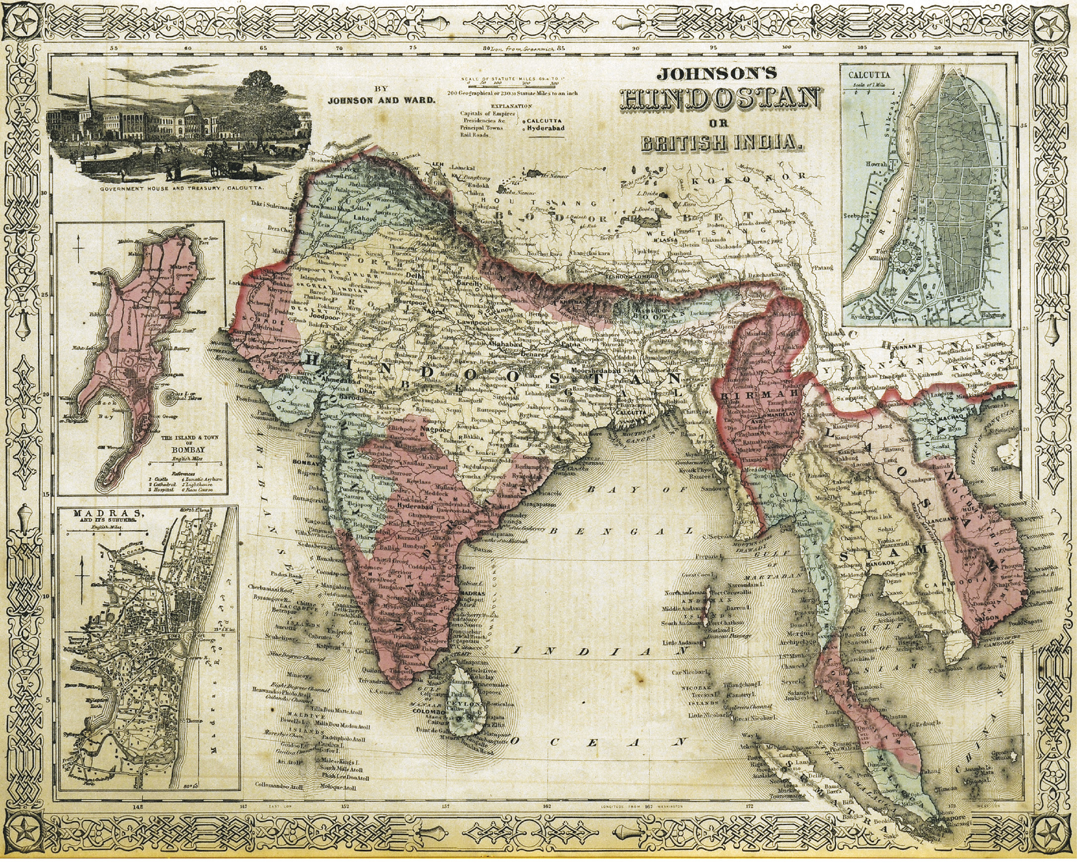
Johnson's Hindostan or British India. A very nice example of A. J. Johnson's 1862 map of India and Southeast Asia. Covers from the Mouths of the Indus River eastward to include all of India, Burma, Siam (Thailand), Laos, Cambodia, Malaysia (Malacca) and Vietnam (Tonquin and Chochin). Also includes parts of Nepal, China, Bhutan, Sumatra and Ceylon (Sri Lanka). Offers color coding according to country and region as well as notations regarding roadways, cities, towns, and river systems. Three inset maps focus on the Island of Bombay (Mumbai), Madras, and Calcutta. An view of the Government House and Treasury in Calcutta adorns the upper left corner. Features the strapwork style border common to Johnson's atlas work from 1860 to 1863. Published by A. J. Johnson and Ward as plate number 90 in the 1862 edition of Johnson's New Illustrated Family Atlas. This is the first edition of the Family Atlas to bear the Johnson and Ward imprint. 1862(Undated)
41 x 33 cms.Estimate:
₹24,000 – ₹30,000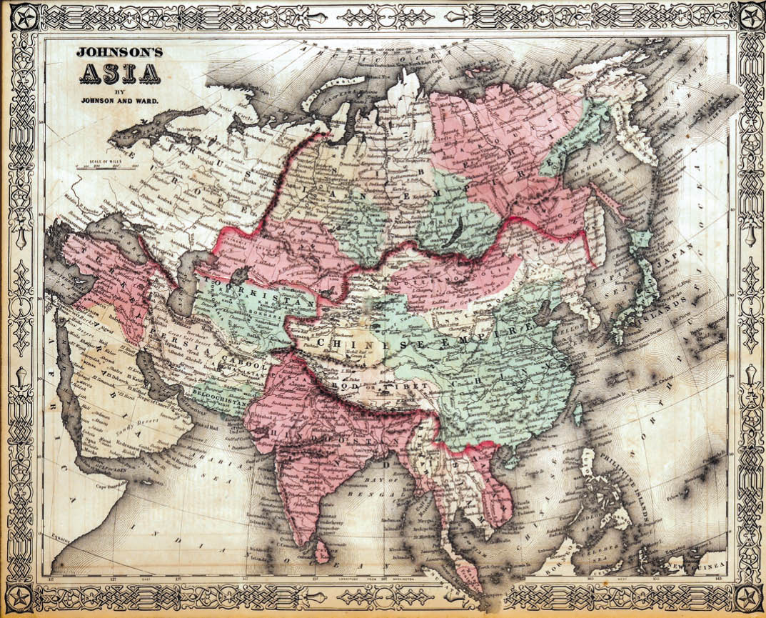 ClosedLot 59
A.J.JOHNSON
Map of Asia Showing its Gt. Political Divisions, and also the various Routes of Travel Between London & India, China & Japan & C. Entered according to the act Congress in the year 1860 by S. Augustus Mitchell, Jr. in the Clerk office of the District Court of the U.S. for the eastern District of Pennsylvania A beautiful example of S. A. Mitchell Jr.'s 1864 map of the India, One of the most attractive American atlas maps of this region to appear in the mid 19th century. Features the floral border typical of Mitchell maps from the 1860-65 period.
35 x 27 cms.Estimate:
₹20,000 – ₹28,000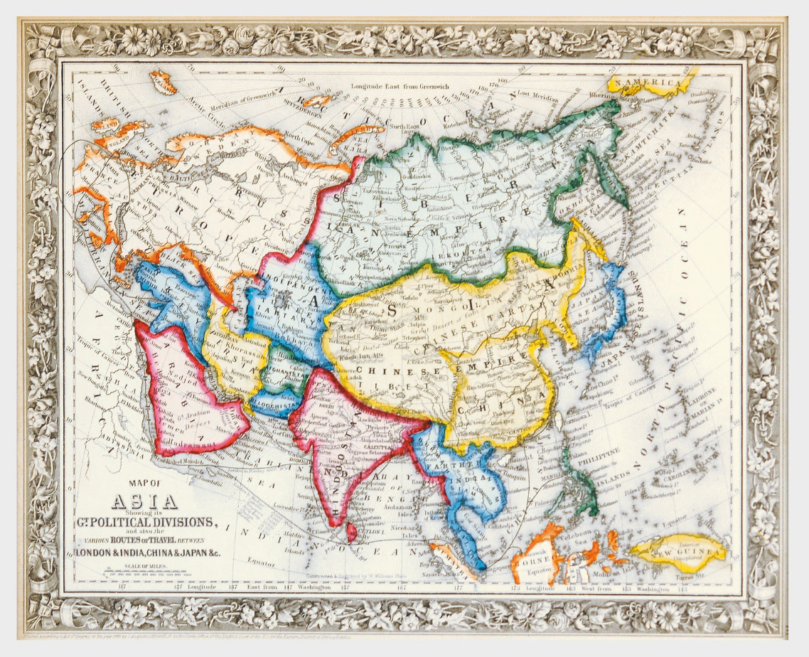 ClosedLot 84
A. J. JOHNSON (1827 - 1884)
Map of Asia showing its Gt. Political Divisions and also the various Routes of Travel Between London & India, China & Japan & c. A beautiful example of S. A. Mitchell Jr.'s 1864 map of Asia. Makes note of the steamship routes and mileages from London to various destinations in Asia. Denotes both political and geographical details. One of the most attractive American atlas maps of this region to appear in the mid 19th century. Features the floral border typical of Mitchell maps from the 1860-65 period. Prepared by W. Williams for inclusion as plate no. 77 in the 1864 issue of Mitchell's New General Atlas. Dated and copyrighted, "Entered according to Act of Congress in the Year 1860 by S. A. Mitchell Jr. in the Clerk's Office of the District Court of the U.S. for the Eastern District of Pennsylvania." 1860 (dated) Mounted, Glazed and Framed
40 x 33 cm
Map of AsiaEstimate:
₹20,000 – ₹28,000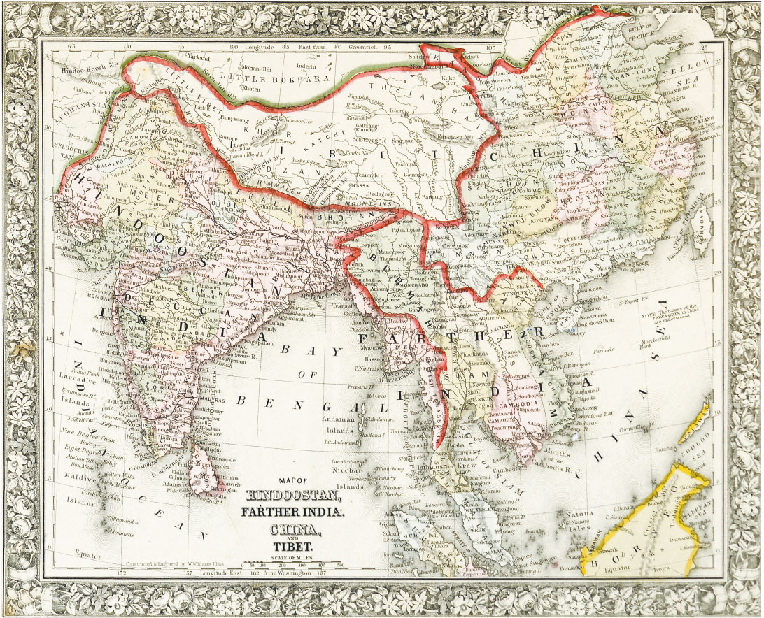 ClosedLot 92
A. J. JOHNSON (1827 - 1884)
Map of Hindoostan, Farther India, China and Tibet; A beautiful example of S. A. Mitchell Jr.'s 1864 map of the India, Tibet, China and Southeast Asia, including Burma, Thailand, Cambodia, and Vietnam. Covers the region in considerable detail with parts of Malaysia, Sumatra, and Borneo included. It is one of the most attractive American atlas maps of this region to appear in the mid 19th century. Features the floral border typical of Mitchell maps from the 1860-65 period. Prepared by W. Williams for inclusion as plate 80 in the 1864 issue of Mitchell's New General Atlas. Dated and copyrighted, Entered according to the act of Congress in the year 1860 by S. Augustus Mitchell in the Clerk's Office of the District Court of the U.S. for the Eastern District of Pennsylvania. Dated 1860. Map of Hindoostan, Farther India, China and Tibet0.
36 x 29 cmEstimate:
₹18,000 – ₹24,000